 |
| In progress |
 |
| Labeling |
 |
| Gasi! |

All of the teachers said they wanted to use the maps in their lessons, but there was only one who invited me to watch the lesson take place. Mr Sadio technically only has 24 students in his class, but is apparently lenient about not sending kids home who haven't paid the inscription fees yet, since on the day I came in there were almost double that number present.

After explaining what a map was and how they were used, Mr. Sadio showed his students where Dinguira, Kolda, and Senegal were located, then asked students to point out key features of both maps.


After that, he moved into the classroom and wrote information about Senegal's geography on the chalkboard for the kids to copy into their notebooks. A notebook, a pen, and a chalkboard slab are the only learning materials available for students at the Dinguira school, so that is how they study - copying the board and then studying their notebooks. There are no textbooks or copy-machined articles.
.JPG)

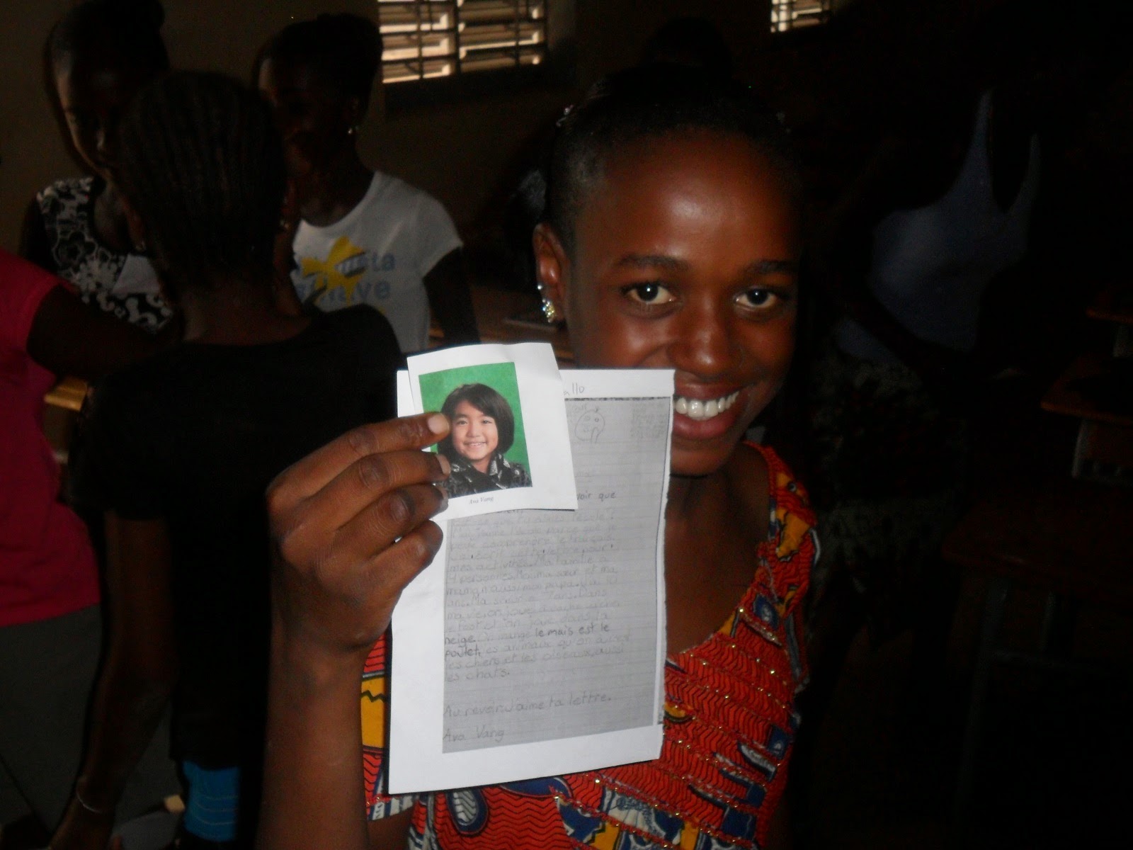
Meanwhile, a few kilometers away, I delivered the next batch of Pen Pal letters to the students of Teyel. The students read their letters aloud, laughing excitedly, then passed them around to their friends and immediately began drafting their responses. If everything goes as planned, I'll be able to deliver the next letters from Teyel to St. Paul when I go home on vacation in a couple weeks.

.JPG)
The maps are such a great tool for getting the kids involved in many areas learning. Congratulations on making a great map. I wish I had tried that in Sedhiou in the old days. Same goes for letter exchanges. John and Janet
ReplyDeleteAwesome! I take it the St. Paul students write in French?
ReplyDeleteYessir, it's a French Immersion school. There are a surprising number of immersion schools in Minnesota
ReplyDeleteThis comment has been removed by a blog administrator.
ReplyDelete